Applied Remote Sensing Degree Track

Atmospheric Modeling Atmospheric Modeling
Master of Professional Science

Remote sensing technologies enable researchers to acquire high-resolution satellite imagery and obtain near-real-time measurements. They have become an indispensable tool for numerous applications including disaster response and environmental monitoring.

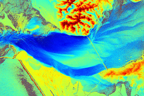
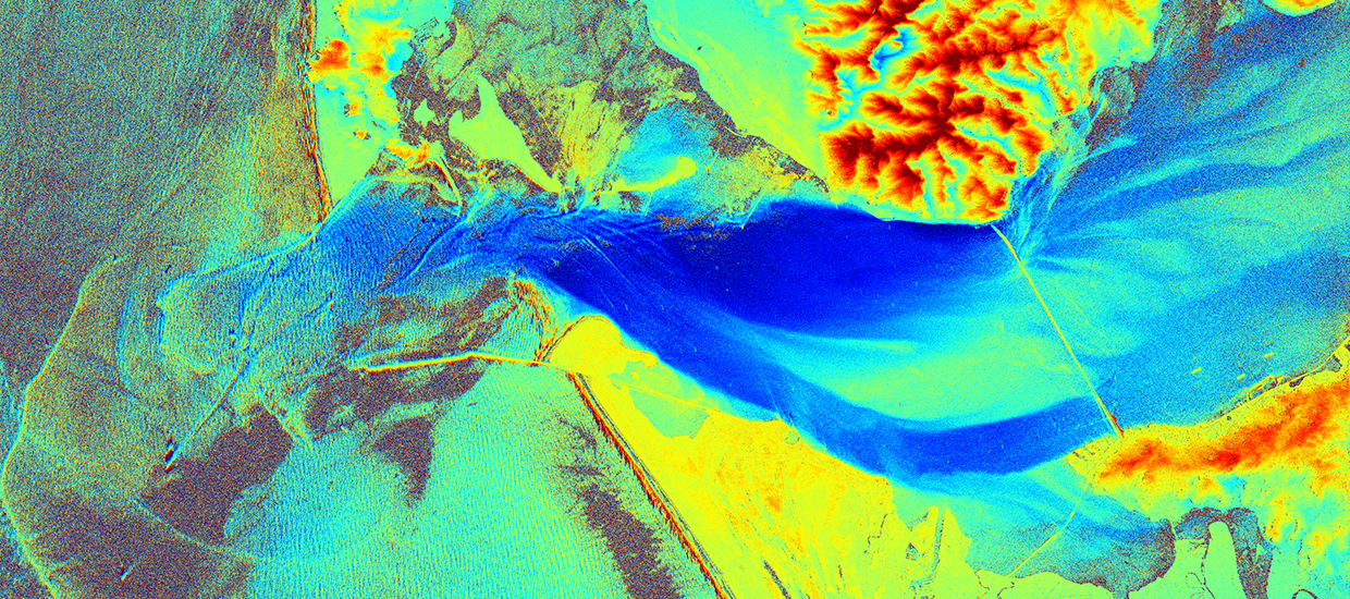
The Applied Remote Sensing track comprises courses on the physics of active and passive remote sensing techniques, the use of Geographic Information Systems (GIS), and a choice of additional courses in the fields of ocean sciences and atmospheric sciences. This allows students to optimize their curriculum according to their individual strengths, interests, and career plans. Our students have opportunities to gain hands-on experience and network in a professional environment at an institution of their choice during their required MPS internship. The track is offered through the Rosenstiel School and the Center for Southeastern Tropical Advanced Remote Sensing (CSTARS) . CSTARS is a leading remote sensing institution with direct access to data from various satellites and excellent connections to data users and partner institutions worldwide. This track is also appropriate for those already in the workforce and looking to expand their skills.

Prerequisites:

Bachelor of Science degree in Mathematics, Physics, Geosciences, Engineering or an equivalent degree. Successful completion of the following (or equivalent) undergraduate courses: Calculus, Statistics, Physics, Computer Programming (Matlab, IDL, C, or Fortran)

Course topics:

Statistics, Geographic Information Systems (GIS), radar remote sensing, physics of remote sensing, physical oceanography, natural hazards, ocean systems engineering

Example job titles :

  • Technical Lead, Solar Engineering
  • Public Policy Consultant, US Government
  • Geospatial Software Engineer

FAQ's

Open All Tabs
  • Why is this track important?

    The routine use of remote sensing techniques has become an indispensable element of many activities in our modern world. Numerous applications that impact our daily lives rely on data from sensors on satellites, airplanes, unmanned aerial vehicles ("drones"), and other platforms. From natural disaster response and oil spills to monitoring ship traffic and floating sea ice, remote sensing technology enables us to acquire high-resolution satellite images of most areas in the world. It also allows us to obtain near-real-time measurements, including sea surface temperatures, currents, wave heights, wind speeds, atmospheric temperature profiles, aerosols, and more. The Applied Remote Sensing MPS track prepares students for these positions in government agencies, research institutions, and the private sector, which have a growing demand for specialists who understand what can be measured and how to obtain and process the data.

  • Why Miami?

    South Florida is strongly impacted by climate change effects from rising sea levels to the increasing number and intensity of hurricanes. It is no coincidence that the Rosenstiel School is among the leading research institutions in this field, working closely with strong local partners, such as the NOAA Atlantic Oceanographic and Meteorological Laboratory and the National Hurricane Center, as well as numerous international partners. Our scientists also have direct access to many satellites and related data products through the Center for Southeastern Advanced Remote Sensing (CSTARS), one of the leading receiving and processing facilities for satellite data in the United States. With all of this combined, our students have excellent opportunities to take courses with some of the best experts in this field, to gain hands-on experience with state-of-the-art satellite data products, and to connect with our colleagues and project partners in the US and beyond for internships and future job opportunities.

  • What can students do with this degree?

    Some of our students have found employment in government agencies such as NOAA, NASA, the Department of Homeland Security, and the military, as well as private sector remote sensing companies and companies that use remote sensing techniques and data products. Others have found positions in research institutions and universities, including PhD programs. A typical first position is that of a data analyst who participates in the routine analysis of satellite images–for example, studying weather patterns or detecting oil pollution or unidentified ships.

  • What makes this track unique?

    There is a growing demand for data analysts and experts who understand how to use remote sensing techniques and satellite data products for a variety of applications, and the Applied Remote Sensing MPS track is an ideal stepping stone for students looking for a career in this field. Our students learn from some of the top experts in the fields of remote sensing and ocean and atmospheric science, acquire hands-on experience with state-of-the-art satellite data products, and take advantage of our excellent connections to potential future employers.

Track Leader

Dr. Roland Romeiser

Applied Remote Sensing Track

rromeiser@earth.miami.edu

(305) 421-4645
Roland Romeiser is a Professor in the Ocean Sciences department at the University of Miami’s Rosenstiel School of Marine, Atmospheric, and Earth Science. He is working in the field of ocean remote sensing by radar, with emphasis on the interpretation of images from conventional and interferometric synthetic aperture radar (SAR) systems on satellites with regard to signatures of ocean currents, waves, and atmospheric features over the ocean...

Plan Of Study Grid

Fall Course Title Credit Hours
EVR 660 & 661 Introduction to Marine Geographic Information Systems and Introduction to Marine Geographic Information Systems - Laboratory * 3
OCE 603 Physical Oceanography * 3
OCE 608 Introduction to Ocean Systems Engineering * 3
RSM 612 Statistics for Marine Scientists * 3
RSM 700 Research Ethics 0
Credit Hours 12
Spring Course Title Credit Hours
OCE 606 Introduction to Ocean Remote Sensing 3
OCE 707 Advanced Ocean Remote Sensing 3
OCE 637 Natural Hazards: Atmosphere and Ocean * 3
OCE 676 Wave Propagation in the Ocean Environment * 3
Credit Hours 12
Summer Course Title Credit Hours
OCE 805 MPS Internship 1 2-6
Credit Hours 6
Total Credit Hours 30

*  or Elective

1  Enrollment in 2 - 6 internship credits required during a student's time in MPS. Completion of less than 2 internship credits must be approved by MPS Director. Students may enroll in more than 6 internship credits with the approval of the Program Director. Typically 2 semesters are needed to complete all aspects of the internship phase of MPS.

Elective Options

Students may request elective courses with the consent of their Academic Advisor. Refer to the course schedules for a list of classes available on the Rosenstiel School campus. The course offerings may vary from semester to semester. For more details, visit the UM Academic Bulletin.